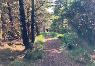
9,2 km | 12,1 km-effort
Bangor Trail
SityTrail - itinéraires balisés pédestres
Tous les sentiers balisés d’Europe GUIDE+
Lengte
25 km
Max. hoogte
261 m
Positief hoogteverschil
678 m
Km-Effort
34 km
Min. hoogte
27 m
Negatief hoogteverschil
686 m
Boucle
Neen
Markering
Datum van aanmaak :
2025-02-06 12:25:45.632
Laatste wijziging :
2025-02-06 12:25:45.632
7h42
Moeilijkheid : Moeilijk
Gratisgps-wandelapplicatie
Over ons
Tocht Te voet van 25 km beschikbaar op Onbekend, County Mayo, Westport-Belmullet Municipal District. Deze tocht wordt voorgesteld door SityTrail - itinéraires balisés pédestres.
Plaatsbepaling
Land:
Ireland
Regio :
Onbekend
Departement/Provincie :
County Mayo
Gemeente :
Westport-Belmullet Municipal District
Locatie:
Srahmore ED
Vertrek:(Dec)
Vertrek:(UTM)
462448 ; 5982449 (29U) N.
Opmerkingen
Wandeltochten in de omgeving
Lough Aroher Loop
Te voet
Gemakkelijk
Westport-Belmullet Municipal District,
Onbekend,
County Mayo,
Ireland
2h 44min
Ja
Letterkeen Loop
Te voet
Gemakkelijk
Westport-Belmullet Municipal District,
Onbekend,
County Mayo,
Ireland
10 km | 14,3 km-effort
3h 14min
Ja
Botky Teep
Te voet
Gemakkelijk
Westport-Belmullet Municipal District,
Onbekend,
County Mayo,
Ireland
6,5 km | 7,8 km-effort
1h 46min
Ja
Letterkeen loop
Stappen
Moeilijk
Westport-Belmullet Municipal District,
Onbekend,
County Mayo,
Ireland
10,5 km | 14,9 km-effort
3h 45min
Ja